Distance: 2.7 miles (one way)
Type: Lollipop loop
Difficulty: Moderate
Kid-friendly: Yes
Dog-friendly: Yes
Water: Yes
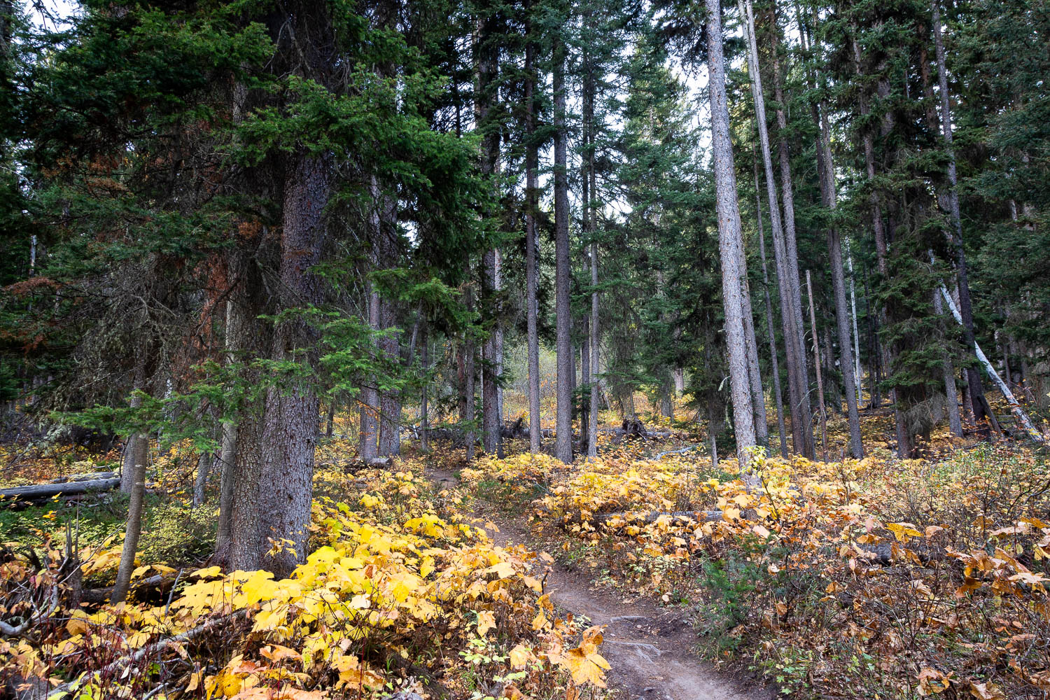
The Big Rocks Trail is a moderate 2.7 mile hike that meanders past glacial boulders in the northern foothills of the Snake River Mountains. The trail begins along the Old Pass Road Trailhead at the base of the Teton Mountains and cuts across Trail Creek, entering the Snake River Mountains for a calm and peaceful hike through a mature forest growing around its signature boulders.
View more images available as prints from the Snake River Mountains
Big Rocks Trail Description
As mentioned, the Big Rocks Trail begins at the Old Pass Road Trailhead and makes use of a short distance of the Black Canyon Trail, heading down from the parking area and toward Trail Creek. A small footbridge brings you across the creek just a short distance into the hike where you then reach a junction in a large meadow. The loop for the Big Rocks Trail begins here, so heading straight or right will bring you along the loop. This description heads straight, leaving the “big rocks” for the second half of the hike. This gives you something to look forward to while admiring the serenity of the old forest.
Along the way you’ll pass some old equipment used to entice hikers onto the History Trail, another fantastic option from Old Pass Road. Another branch of Trail Creek is reached on the other side of the meadow with another trail junction, though hikers must continue straight. The junction is with the end of the Lithium Trail, which is a downhill mountain biking only trail. One more junction is found a short distance beyond, instructing you to head right where you’ll begin climbing up the Black Canyon Trail at 0.3 miles in.
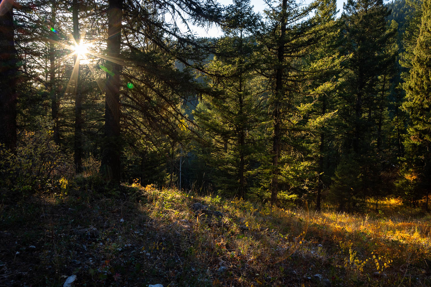
Though the ascent is primarily gradual, there are a few short but steep climbs scattered throughout this part of the Big Rocks Trail. The plus is that you’ll likely find some peace and quiet in this area, since the ridge you’ve hiked around blocks out much of the noise from Highway 22 nearby. Below is the natural white noise of Black Canyon Creek, creating a soothing soundtrack to balance out the few steep climbs.
At 0.9 miles, you’ll reach the opposite junction for the Big Rocks Loop, your first big rock seen just prior. Heading right, the trail switchbacks up through meadow and forest, sometimes steep, sometimes a bit easier. Finally you cross over the ridgeline where another small ascent carries you around the hillside. It’s hear you might begin to notice road noise from Highway 22 once again entering into the soundscape.
As you head across the hillside, a few beautiful views of Jackson Hole extending northward can be seen through the trees. Following are a few more steep but quick ascents maintaining a mostly gradual climb. At 1.5 miles in, you’ll cross the Lithium Trail once more, so be alert for mountain bikers heading downward before heading straight through. It’s here that the trail finally begins to trend downward after reaching the apex of the hike.
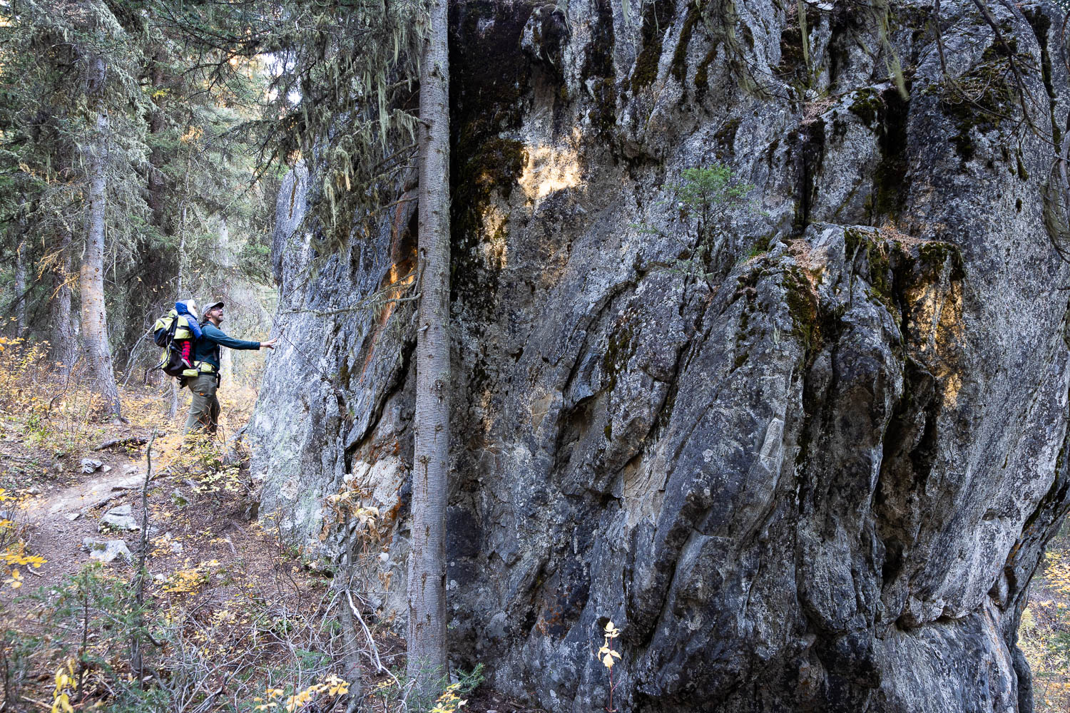
The trail switchbacks down through the forest and shortly after the Lithium Trail junction, you reach your first “big rock” at 1.6 miles in. The Big Rocks Trail skirts around massive cabin-sized chunks of granite, pleasantly disrupting the forest and foliage found throughout the hike thus far. As you hike around them, they tower above, drawing admiration from anyone who heads back that way. Two more boulders await a short distance down the trail, giving a fun excuse to climb a bit in the dense forest.
From here, the Big Rocks Trail makes a steady descent back toward the origin of the loop as road noise continues to become more audible as you head down. A couple of small footbridges carry you across a boggy section of forest as you twist and turn through the steady downhill with the forest’s canopy consistently above.
A junction is reached at 2.5 miles in with the History Trail where you’ll head straight and close out the loop just a short distance beyond at the next junction. Take a left to return to the parking area after crossing Trail Creek once more.

Elevation and route courtesy of Route Scout
Getting There
From downtown Wilson, Wyoming, head west on Highway 22 for 1.1 miles and look for Old Pass Road on the left. Follow that road until it dead-ends in a parking lot and look for the trailhead on the south side of the parking area just before the turnaround loop.