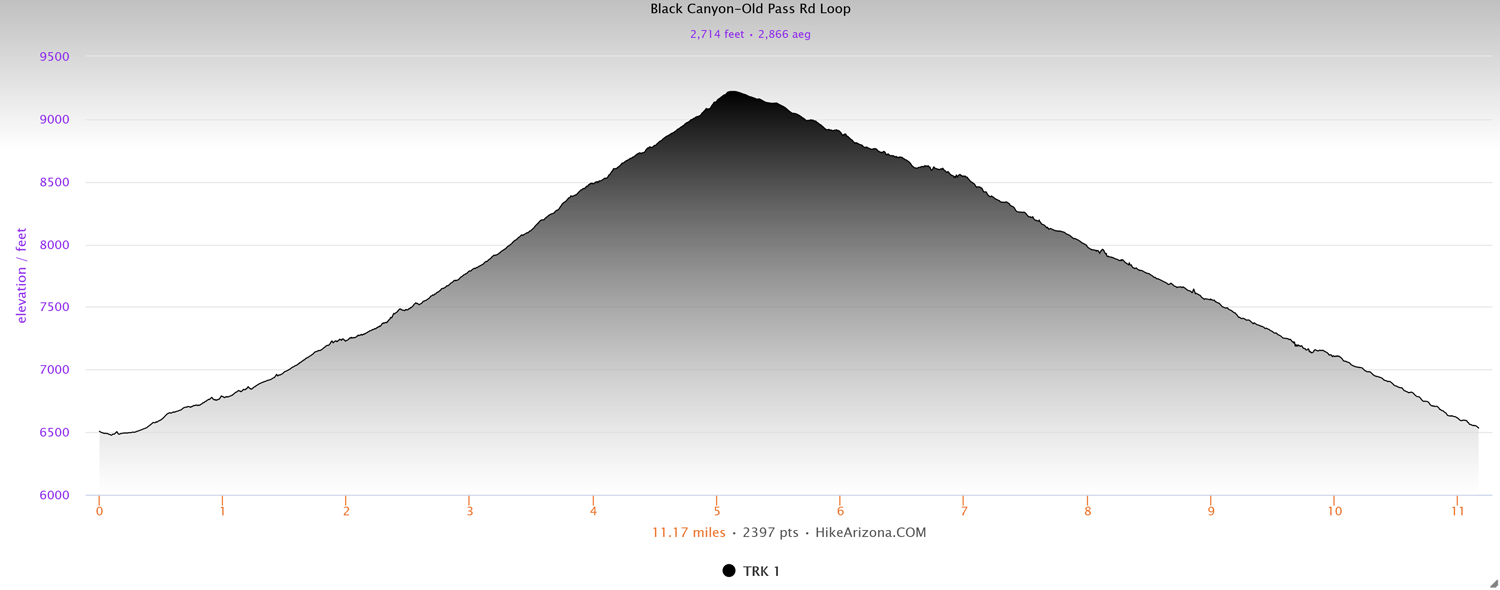
Distance: 11.1 miles
Type: Loop
Difficulty: Strenuous
Kid-friendly: No
Dog-friendly: Yes
Water: Yes
The Black Canyon to Old Pass Road Loop is a strenuous 11 mile loop in the Snake River Mountains, connecting two canyons from the Old Pass Road Trailhead. Along the way are stunning views of the southern portions of Jackson Hole, as well as a small but sublime glacial lake.
View more images available as prints from the Snake River Mountains
Black Canyon to Old Pass Road Loop Description
The trail begins at either Teton Pass or Old Pass Road Trailhead, however for this writeup, it’s written from Old Pass Road Trailhead as the origin point.
From the trailhead, head down the Black Canyon Trail, which begins on the south side of the parking lot, and dips down a short distance before entering the woods. It doesn’t take long to cross Trail Creek, where you’ll then reach a junction. Continue straight to remain on the Black Canyon Trail.
After another creek crossing, the woods will become denser as the trail begins to climb around to Black Canyon. At 0.9 miles in, you’ll reach another junction, this one with the Big Rocks Trail, which forks off to the right. Continue straight where you’ll continue paralleling up the creek at the bottom of Black Canyon.
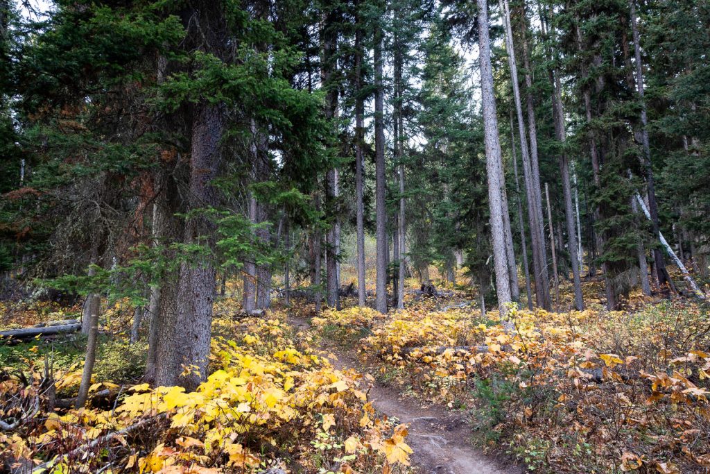
The trail continues to climb up the canyon through dense woods, as an occasional meadow and break in the trees offers up a small change in scenery from time to time. All the while, side creeks and an occasional creek crossing provide for beautifully intimate forest scenes along the way.
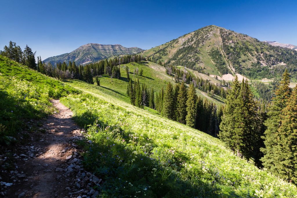
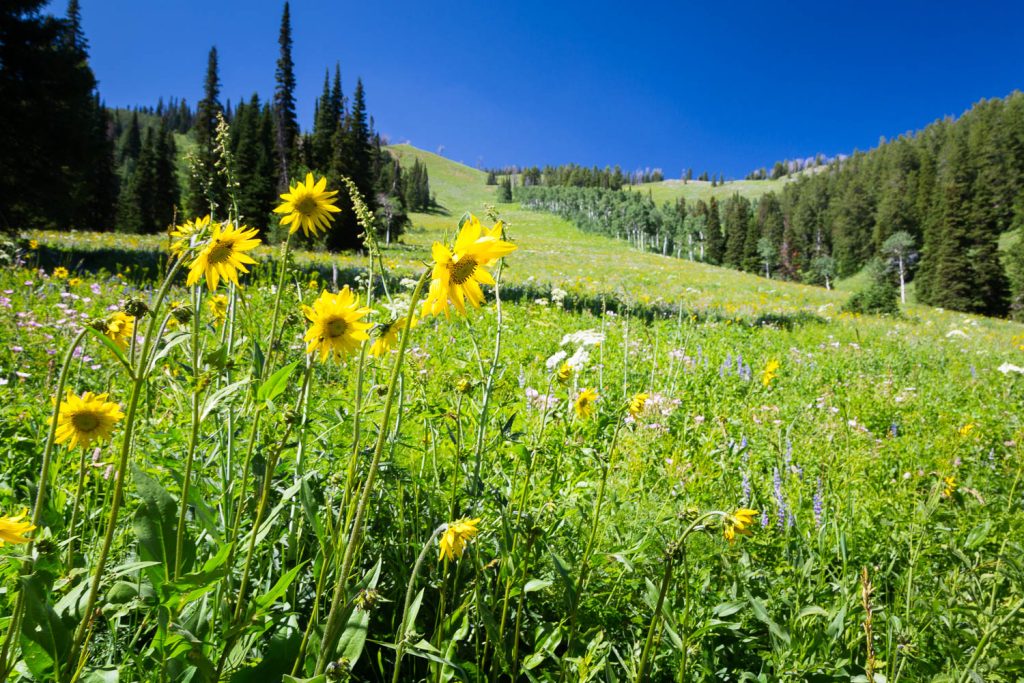
At roughly 3.4 miles in, you’ll emerge from the forest into a large and steep meadow where the trail begins ascending up a steep series of switchbacks. Increasingly stunning views over the southern end of Jackson Hole encourage brief respites to catch your breath, while, if timed properly, wildflowers burst across the landscape in all shades of color.
Once you’ve climbed another 0.4 miles, you’ll reach a gorgeous aspen grove with stunning views both in the grove as well as outside of it. Once through the aspen grove, the trail will continue to switchback up in and out of the forest where you at last reach a high point, also an unofficial junction with another trail to summit Mount Elly. It’s less than 0.25 miles round trip, so if you don’t mind a small bit more of climbing, the view from Mount Elly is well worth it, especially since you’re practically already there.
Beyond the junction with the Mount Elly Trail, the Black Canyon Trail continues to descend in and out of the forest, with an occasional spur trail exploring a ridgeline for impressive views eastward over Jackson Hole. The views catch up with the trail as you emerge from one forest grove after another to immense views both to the east and to the north, with Mount Glory of the Teton Mountains rising dramatically ahead. Once again, if timed well, wildflowers will be exploding all along this area in an idyllic mountain scene.
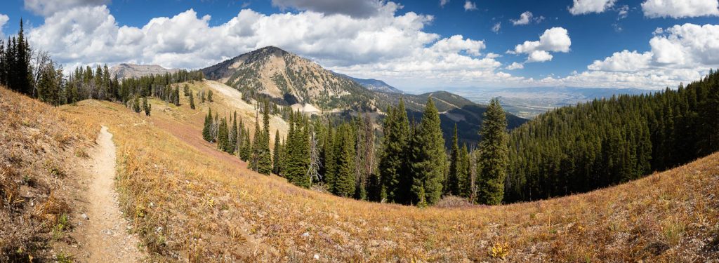
As you continue the descent, you’ll reach a junction with communication towers, of all things. Rather than getting on the dirt road, continue on the single track trail that veers to the right. Stunning views to the east continue to persist along the way as you make your way just below an exposed ridgeline.
Dropping down a bit steeper, you quickly reach the large parking area on top of Teton Pass and Highway 22 at about 7.2 miles in. From here, you can connect with Old Pass Road, which begins on the east side of the parking area as a paved trail. After paralleling the highway for a short distance, the trail then begins a steep descent down switchbacks with sparse trees and occasionally decorated with aspens. Throughout the switchbacks are stunning vistas eastward over southern Jackson Hole, until you drop deeper into the forest, arriving at Crater Lake at 9.8 miles in.

Crater Lake is a beautifully small glacial lake fed from the Glory Bowl on Mount Glory high above. The small glacial lake even has a bench installed along its shore to sit and enjoy the serenity from.
The remaining 1.3 miles are an easy downhill shot along a steep hillside with views overlooking the forest below. At 11.1 miles in, you’ll reach the parking area once again, this time on the west side.
Elevation and route courtesy of Route Scout
Getting There
From downtown Wilson, head west on Highway 22 for 1.1 miles, turning left onto Old Pass Road. Continue until the road dead-ends at the parking area and trailhead.