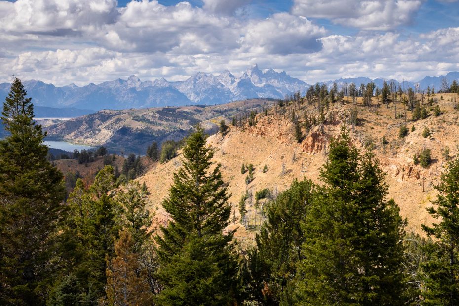
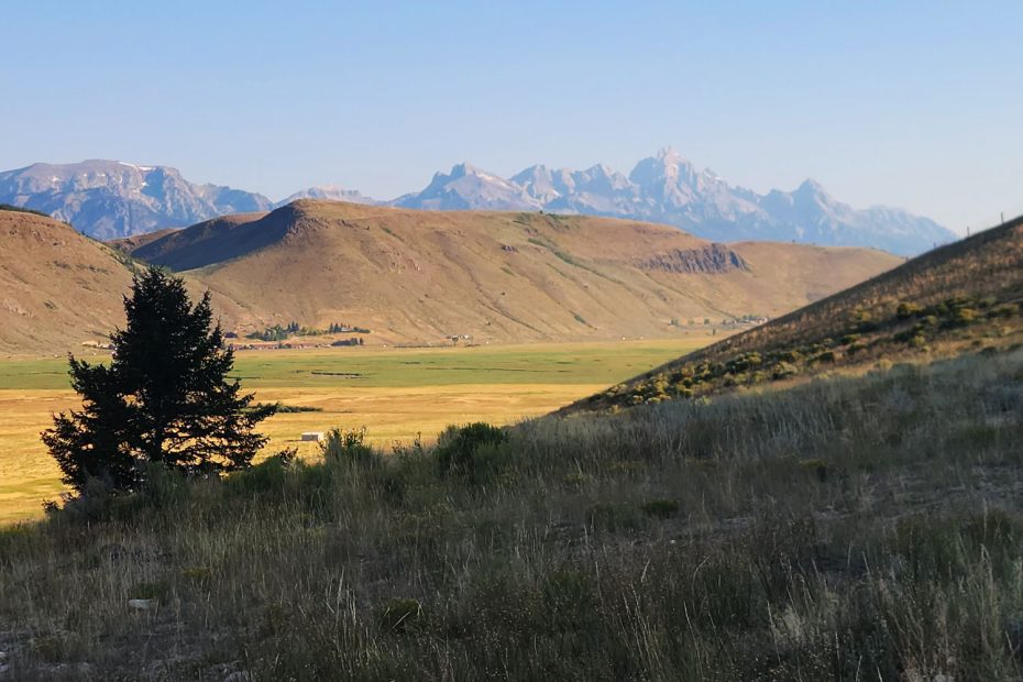
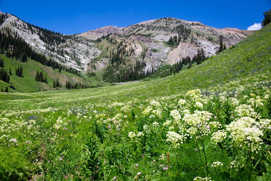
Gros Ventre Mountains
Though the Gros Ventre Mountains typically get overshadowed by the nearby Teton Mountains, they’re still packed with trails that locals love to frequent. The mountains receive little traffic relative to the neighboring Tetons, giving hikers a sense of solitude and serenity often hard to find so close to a major tourist destination. With rugged peaks and crystal clear streams, the Gros Ventre Wilderness found in the heart of the Gros Ventres is a mountain paradise that is hard to compete with. Trails provide access from all different directions, including from Goodwin Lake, Granite Canyon, and Gros Ventre Road.
Must Do Hikes
Easy: Cache Creek
Moderate: Sink or Swim
Strenuous: Snow King