 Grebe Lake Yellowstone National Park
- Lava Trail System Northbound Loop Hell's Half Acre
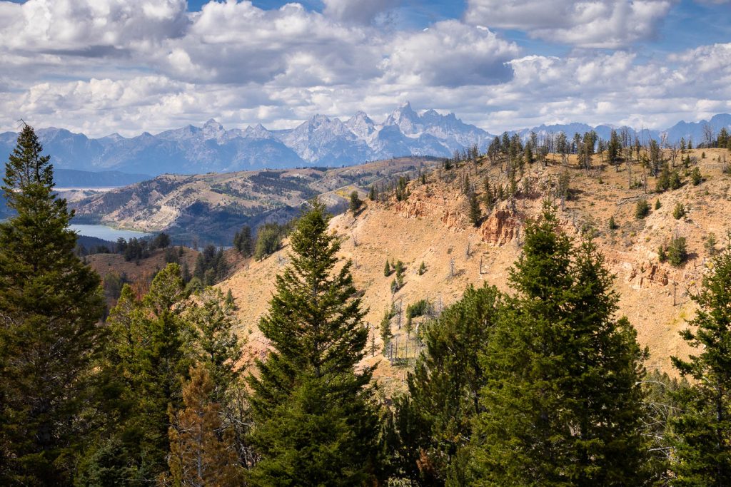
- UPDATED: Red Hills Gros Ventre Mountains
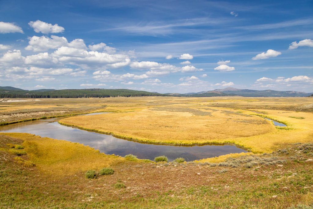
- Pelican Valley Yellowstone National Park
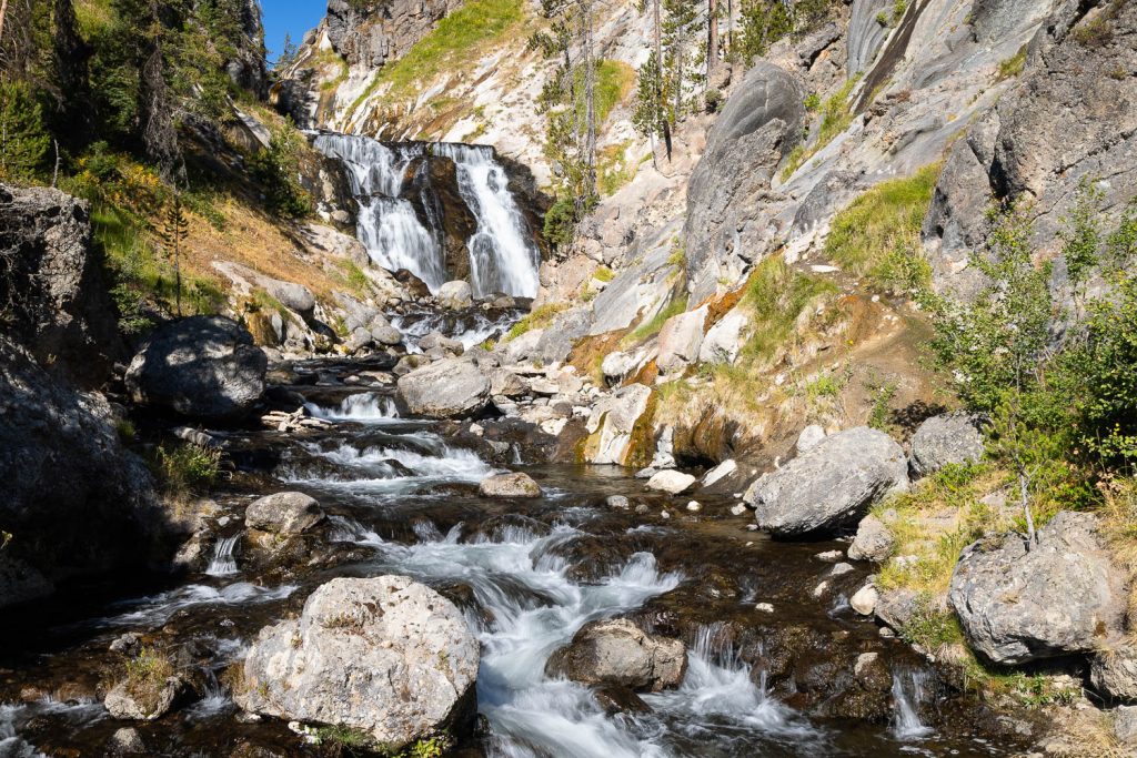
- Mystic Falls and Overlook Yellowstone National Park
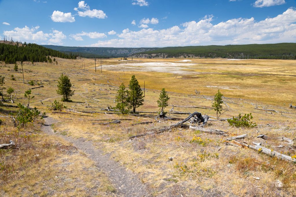
- Sentinel Meadows Loop Yellowstone National Park
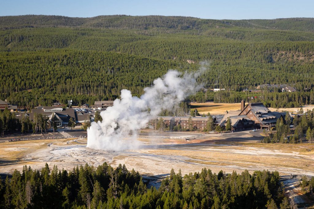
- Observation Point Loop Yellowstone National Park
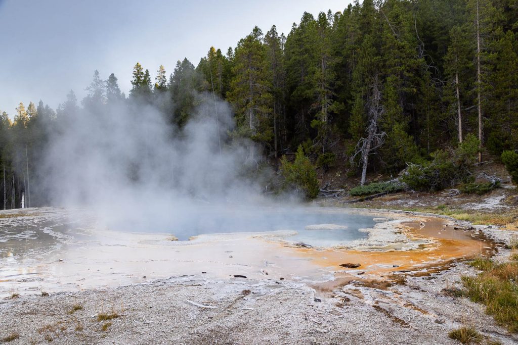
- Observation Point Yellowstone National Park


Free Roaming Hiker is a hiking resource for the spectacular trails covering the Greater Yellowstone Ecosystem, the Southwestern United States, and beyond.
This site is for anyone who has an interest in getting outside and hiking. Aimed at all skill levels, it provides detailed information for each hike, including mileage information, an elevation profile, an interactive map, water availability, and even lets you know if the hike is dog or kid-friendly.
Based in Jackson Hole, Wyoming, I have a passion for the Grand Teton and Yellowstone region, as well as the unparalleled beauty of the southwest. As such, I seek out as many trails as I can. Along the way I capture as many photos as possible of each trail. As a professional nature photographer, you can be sure that each photo will show off the scenery and features of each hike, enticing you to visit every trail and explore your public lands.
Whether you love the outdoors already, or want to learn how to try, this site is for you.
Destinations


About the Author

My name is Mikki Cavaroc and I’m an avid hiker living in Jackson Hole, Wyoming. During my first attempt at the Arizona Trail in 2015, I began logging my routes to track my progress. Upon realizing that I could do this for all my hikes, I began doing just that, and thus, the building blocks for this site were set. I do my best to get new hikes posted weekly, and also provide informative general posts as well. Fueled by a love for the natural world, I’ll continue to explore new areas and find new hikes to post.
About the Photos

All the photos on this site were taken by me, an award-winning and widely published nature photographer with a Masters of Fine Arts, and are available for purchase on the Prints Galleries page. All prints are printed on high quality Kodak Endura paper, designed to last 100 years, and each image has been treated with great care in post-processing to produce a striking piece of wall art. More work can be found on my photography website at: Free Roaming Photography.
The majority of photos included on this website were taken with either a Canon 5D Mark III or a Canon R5. Lenses used are primarily the Canon 24-105mm f/4, Canon 100-400mm f/4.5-5.6, and the Canon 70-300mm f/4-5.6.