
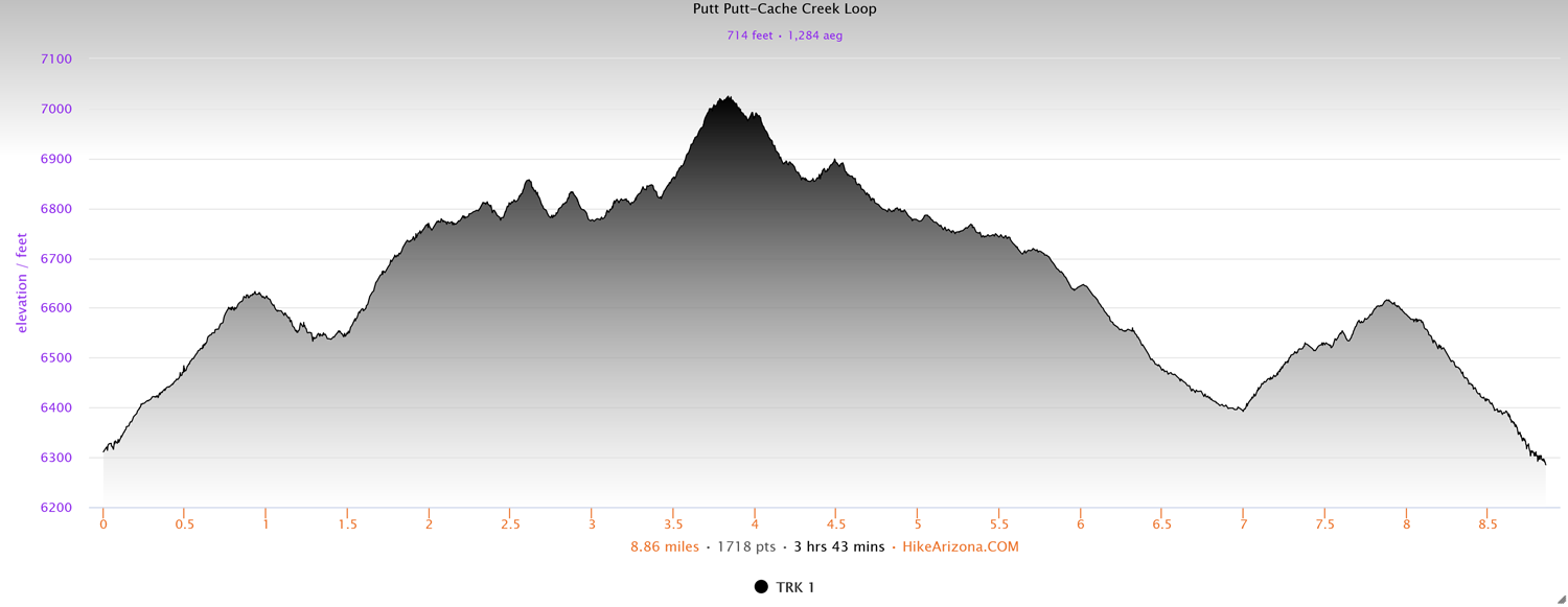
Distance: 8.8 miles
Type: Lollipop loop
Difficulty: Moderate
Kid-friendly: Yes
Dog-friendly: Yes
Water: Yes
The Putt Putt Loop is a moderate 8.8 mile hike in the lower Gros Ventre Mountains connecting several trails through the Cache Creek Trail network. It’s frequently used by mountain bikers as well, so expect to see more than one. The Putt Putt Trail begins at the Nelson Drive Trailhead, but it can be picked up from Cache Creek as well to reduce the mileage. Likewise, if you find you want to end the hike early, there are a number of connecting trails that will bring you back to the primary Cache Creek Trail as well, which can save a bit of time upon the return.
View more images available as prints from the Gros Ventre Mountains
Putt Putt Trail Description
Beginning from the Nelson Drive Trailhead, begin up the trail. In just a few dozen feet, the trail will fork, the Putt Putt Trail veering right. You’ll pass a historic cabin as the trail begins a few easy switchbacks in and out of the woods. You’ll crest the hill at a big meadow with ample views. From here you’ll begin a pattern of passing through aspens and a large exposed hillside.
After reentering the exposed hillside once again, you’ll wind up to the town overlook. This provides a great view of town with Snow King Mountain rising to the left. At this point there’s also a junction at 0.9 miles in where you’ll want to stay right to remain on the Putt Putt Trail.

Beyond the junction you’ll weave gently down the hillside toward Cache Creek Canyon beyond. The trail drops in and out of small drainages lined with aspens, as the noise from Jackson begins to become replaced with the rush of Cache Creek below and bird calls from the trees. As you reach one drainage, the dense vegetation becomes more consistent. It’s just through here that you reach the junction with the Woods Connector Trail in a small meadow at 1.5 miles in. Continue straight to remain on the trail.
Past the Woods Connector, the Putt Putt Trail winds up a hill through the meadow and back into the forest. You’ll find it’s relatively steep for just a bit as it climbs around over the crest of the hill. Once on top, you’ll have gorgeous views of the canyon and surrounding landscape. Far below you’ll even be able to make out the main Cache Creek Trailhead. As you continue up the trail, the forest will begin to break up with tranquil sounds of nature filling the soundscape and Cache Creek cascading below. The higher peaks of the canyon loom ahead as you snake through beautifully broken meadows. The trail through here will feel far away from the busy main trail at the bottom of the canyon.
Eventually the trail winds back into a forest. You’ll climb out via another relatively steep climb before dropping down through a meadow. Just past here you’ll reach another junction with the Wiggle Connector at 2.75 miles in. Continue straight through the serene aspen grove. You’ll then reach a large meadow where you’ll continue descending in elevation.

At this point, the Putt Putt Trail establishes a continuing trend of passing through evergreen forests, meadows, and aspen groves. It makes for wonderfully peaceful hiking as you reach the next junction with the Serengeti Connector at 3.4 miles in. Continuing straight once again, where you’ll find the subsequent forest extra quiet as the creek noise begins to fade. This far back up the Putt Putt Trail retains a bit of a wild feeling in the forest.
You’ll make a gradual climb where the rush of Cache Creek will return as you reach the top. You’ll follow switchbacks down through meadows and old evergreens where you then reach the next junction with the Gauging Station Trail at 4.25 miles in, once again continuing straight.
As you continue to weave through the forest, the soothing sound of the creek becomes louder. Emerging on top of a steep meadow, you’ll see the main Cache Creek Trail far below. After winding through a tranquil aspen grove, you’ll drop down through a sublime meadow. At the bottom of this meadow, you’ll connect with the main Cache Creek Trail, ending the Putt Putt Trail at 4.7 miles in.
Head right to begin back down the Cache Creek Trail. The easy-to-follow and wide trail are an active artery for the trail system in the canyon. As you head down, you’ll be treated to gorgeous canyon views, creek rapids, and even wildlife. You’ll want to remain on the main Cache Creek Trail for 3.3 miles.

Passing through the primary Cache Creek Trailhead parking area at 6.9 miles in, look for the junction with the Sidewalk Trail at 7 miles in, and head right on that. It will be behind a smaller separate parking area on the right. Once on the Sidewalk Trail, head left for less than 0.1 miles, reaching the Woods Connector. Head right on the Woods Connector.
For 0.3 miles, you’ll ascend gently on the Woods Connector, twisting through forested groves on your way back up to the Putt Putt Trail. At 7.3 miles in, you’ll reach the Putt Putt Trail, where you’ll want to head left to return to the trailhead.
Elevation and route courtesy of Route Scout
Getting There
From downtown Jackson, head east on Broadway Ave. for 0.8 miles. Turn right onto Nelson Drive where Broadway Ave. ends. Follow Nelson Drive for 0.2 miles, veering left at the fork. Look for the trailhead 400 feet past the fork.