Distance: 2-3.7 miles (one way)
Type: Out and back
Difficulty: Easy
Kid-friendly: Yes
Dog-friendly: No
Water: No
The hike to Pelican Valley leads hikers to a wild expanse of untamed nature just a couple of miles from the trailhead in eastern Yellowstone National Park. The easy hike brings visitors into the Pelican Valley, an immense valley teeming with wildness and while there are options to make the hike both longer and shorter, this hike ends at a junction in the valley, also marked by an old weathered footbridge. Note that this is prime grizzly habitat, so always carry bear spray and know how to use it.
Pelican Valley Trail Description
From the trailhead, head down into the large meadow. You’ll follow the trail across the meadow, crossing over a pair of small footbridges. At the other end of the meadow, you’ll enter into the forest, which quickly transitions into a burn area from the ’88 fires. Along the way, you’ll make a slight gradual ascent, but it never amounts to anything strenuous or challenging.
After about 1.5 miles, you’ll emerge from the forest in what initially appears as a small meadow. As you follow the trail farther into the meadow, the incredible openness of the landscape begins to become apparent. The trees will begin to pass and you’re left in the immensity of the Pelican Valley, an enormous open landscape reminiscent of the Lamar Valley, but without any sign of human civilization. For many people, reaching the 2 mile mark will be perfectly satisfactory. If you’d prefer to turn around at that point, feel free to head back to the trailhead. Otherwise, continue up the trail.
The stunning and mesmerizing views continue to unfold as you wind southeast farther into the valley. The trail will wrap around a bend in Pelican Creek where you’ll then encounter the junction with the Turbid Lake Trail forking off to the right at 2.7 miles in. Stay left to remain on the Pelican Creek Trail.
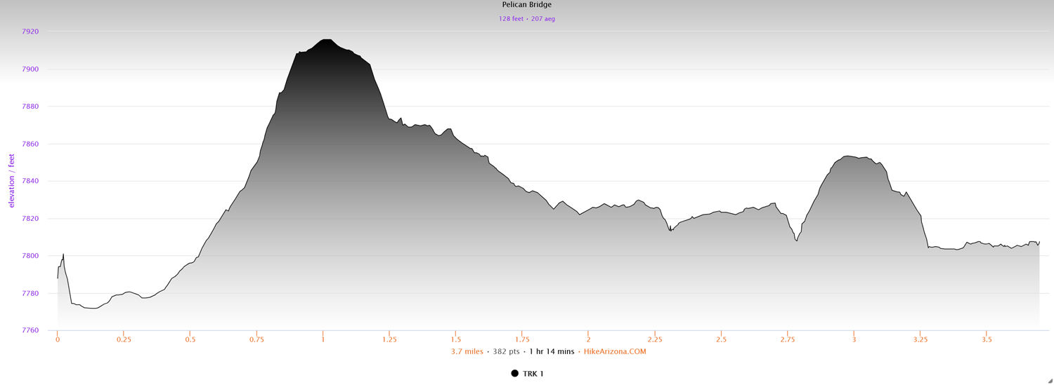
Beyond the junction, the trail will veer in a more northeastern direction. After passing over small hills, you’ll drop down along the creek itself. The astounding natural beauty is an unparalleled treat. At 3.7 miles in, you reach a junction to head up toward the Canyon area, or to continue northeast toward the distant peaks. At this point, you’ll also find an old weathered footbridge in the middle of the creek. This makes for a great destination since any other significant destination beyond is still several miles away. Enjoy the scenery as long as you’d like, and head out the same way you came in.
Elevation and route courtesy of Route Scout
Getting There
From Fishing Bridge, head east along the East Entrance Road for 3.3 miles. You’ll pass the Storm Point Trail and Indian Pond on the right. The Pelican Valley Trailhead will be just after the pond on the left.