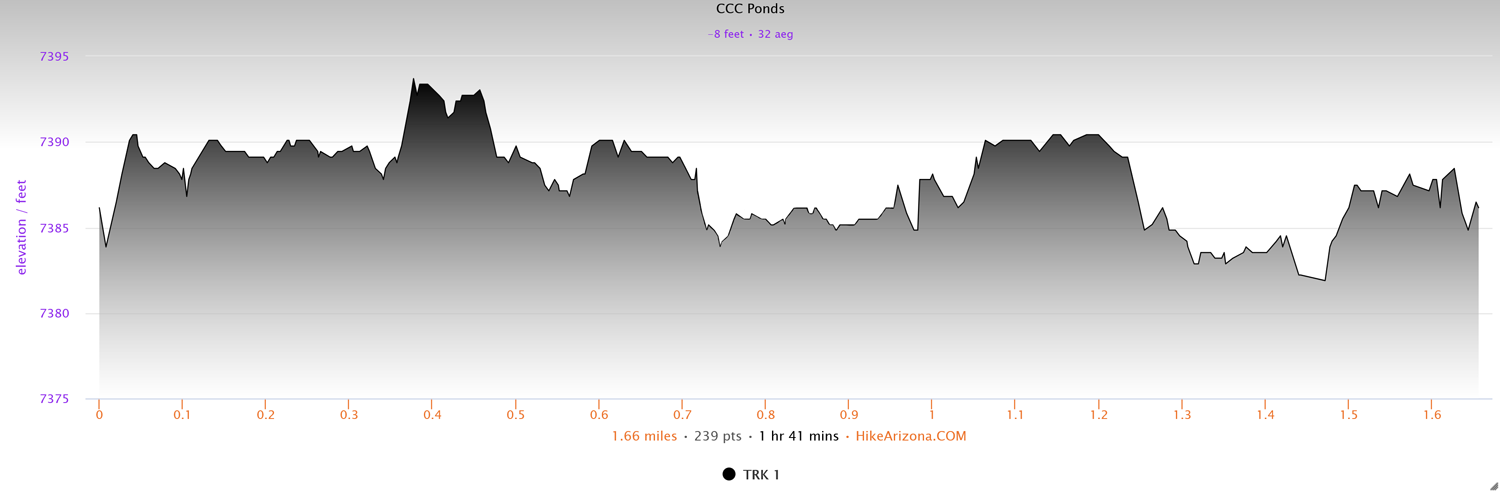
Distance: 1.7 miles
Type: Loop
Difficulty: Easy
Kid-friendly: Yes
Dog-friendly: Yes
Water: Yes
The CCC Ponds Trail is a beautiful riparian saunter through ponds and wetlands found at the base of the Wind River Mountains. Easily accessible from Pinedale, the small preserve is fed primarily from the runoff of Fremont Lake. If you happen to be into birding, it’s also a great location for feeding your inner bird nerd.
CCC Ponds Trail Description
From the main parking area, twist along the trail crossing a footbridge over a creek, where you’ll immediately after reach a junction to begin the main CCC Ponds Loop. There’s no right or wrong way to go, but for the sake of this writeup, it will be described going right.
The paved trail wanders between lush bushes on the left and the scenic creek on the right. Not long after, you’ll reach Duck Pond, complete with a picnic table on its shore. It’s here that the trail will also turn to gravel as it begins to wrap around the east side of the pond, the creek still on your right.
Not far ahead, you’ll reach another junction. Heading right leads you along a spur that will bring you to a scenic dam upstream along the main creek. Once you’ve enjoyed the dam, you can head back to the junction and proceed left to resume the main loop.
Continuing ahead, Beaver Pond will soon come into view, with another bench for relaxing enjoyment. Beyond the pond you’ll wander through a cottonwood forest before reaching another fork.
Heading right from the fork guides you around Frog Pond for a quick loop. The trail can be difficult to see, but look for the sign to help you on your way. Shortly after the sign, cross over an old beaver dam before cutting back left to rejoin the main loop just a short distance beyond the previous fork.
Proceed through exposed desert brush with Fish Pond on your left, where you’ll next reach a fork for the Marsh Pond Loop. The loop adds 0.6 miles, so use your best judgement on whether or not you feel good about it. Left will bring you around the south side of Fish Pond, while right brings you along Marsh Pond and extended wetlands.
Heading right along the Marsh Ponds Loop will bring you over a small creek with lush vegetation before quickly reaching another fork. Right leads to a dead-end spur while left continues along the Marsh Pond Loop.
The Marsh Pond Loop resumes along wetlands on the left and the main creek on the right. The creek will stay with you for the remainder of the hike.
You’ll soon see a footbridge on the right built exactly like the one you started the loop on. Note that this is not the end of the loop yet. Continue straight along the desert riparian trail where you’ll reach a junction with the main CCC Pond Loop once again. Proceed straight ahead along the trail, where you’ll notice it turns back to pavement. Just a short distance ahead, you’ll reach the original junction and footbridge. Head right to cross and bring you back to the parking area.
Elevation and route courtesy of Route Scout
Getting There
From downtown Pinedale, head east on W. Pine St. (ie, the main road). As the road begins to bend right, turn left onto Fremont Lake Road. Follow that for 3.2 miles and turn left. There will be a large sign on the right pointing you toward Fremont Lake, but the CCC Ponds will not be listed on that sign. Turn left anyway and continue for another 0.4 miles. Turn left onto a dirt road and that will dead-end at the parking lot for the trail.