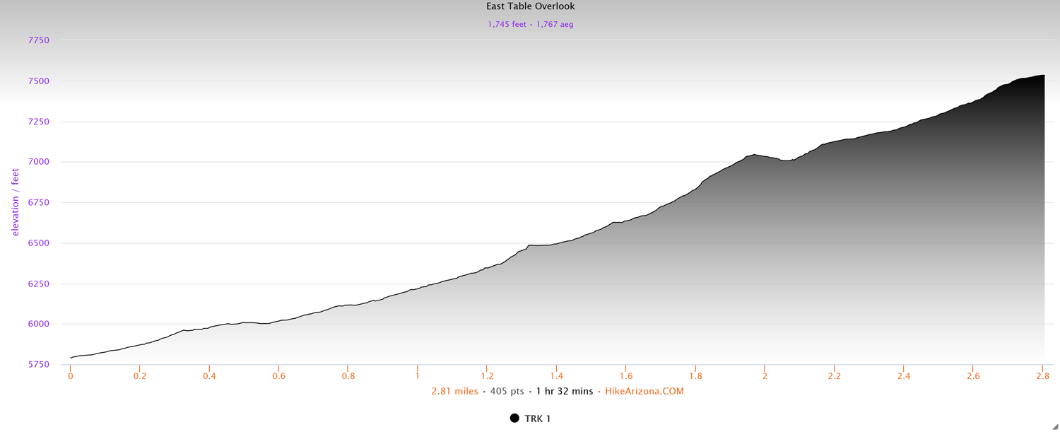
Distance: 2.8 miles (one way)
Type: Out and back
Difficulty: Strenuous
Kid-friendly: No
Dog-friendly: Yes
Water: Yes
The East Table Overlook hike is a challenging 2.8 mile (one way) trek up into the Snake River Mountains. The destination features a large rounded out mountaintop with gorgeous views up and down the Snake River Canyon. From the summit, the Wyoming Range stretches out into the distance on the other side of the canyon, providing an inspiring panoramic view of the surrounding landscape. Since this trail is not as popular as others, you’ll likely have the trail to yourself. At the same time, that also means that the trail is hard to find in a few spots. It’s nothing too difficult to relocate, but it’s something to be aware of.
East Table Overlook Trail Description
From the trailhead, head up the dirt road which immediately splits. It’s a small loop for parking by outfitters, so either way brings you to the single-track, though left is a bit shorter. A kiosk will welcome you to the trailhead as it heads straight into the dense woods at the mouth of the canyon.
You’ll ascend modestly along the gently flowing East Table Creek, veering away from the creek to continue ascending. As you wind along the base of a meadow, you’ll then head onto a larger hillside above the creek. Note that through this area, you’ll encounter a lot of thick brush.
As you drop down along the creek again, you’ll wind through more thick brush and a sparse forest as you trek along and above the creek. Note that you may encounter a few wet and boggy spots, even well into summer. At about 1.5 miles in, you’ll notice the trail getting noticeably steeper in spots. Through here, you’ll ascend to a brief crest, making a slight descent into a large meadow. As you traverse up through the meadow, you’ll begin heading straight toward a ridge ahead.
Journeying up to the ridge is the first place where you may notice the trail becoming faint. Continue ahead and you shouldn’t have much trouble finding the trail again. Regardless, the trail makes a steep ascent up to the saddle. Once on top of the saddle, with disappointingly obstructed views northward, you’ll head left where you’re at least treated to gorgeous views of the Wyoming Range across the canyon to the south. As you straddle the ridgeline, you’ll cross the other side of the meadow, continuing to wind upward.
Maintaining a steep and steady climb, you’ll approach a second ridge while still continuing to gain elevation. This is another area where the trail will disappear in a few spots. Not long after, however, you’ll reach the next saddle. Head left to continue up an easy stretch to the top of East Table. Straight ahead are the remote Wyoming Range mountains sprawling into the distance on the other side of the Snake River Canyon. Enjoy the view as long as you’d like, then, when ready, head back out the same way you came up.
Elevation and route courtesy of Route Scout
Getting There
From the Hoback Junction, south of the town of Jackson, head south along Highway 89 for 11.3 miles. It’s a quick, unsigned right turn after a bend in the road, so look for signage for the East Table Boating Site and other points similarly labeled. The right turn will be the first turn in the “East Table” area. Pull onto the dirt road and park in the open space on the left, as instructed by the sign.