Distance: 1.1 miles
Type: Out and back
Difficulty: Easy
Kid-friendly: Yes
Dog-friendly: No
Water: No
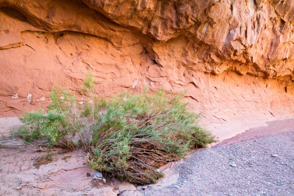
The Capitol Gorge Trail is an easy trail to give visitors a taste of what lies in the rest of the backcountry of Capitol Reef National Park. A wash cuts through massive sandstone cliffs creating an extraordinary wonder when viewed from below.
View more images available as prints from Capitol Reef National Park
Capitol Gorge Trail Description
The trail begins at the end of a dirt road in Capitol Gorge. The road passes over and through the wash several times, so if there’s any chance of rain in the forecast, stay out of it (and the hike itself). Early in the trail, petroglyphs are scattered across the northern (left) wall at an easy viewing distance, adding an extra incentive for the trail. Farther down, early pioneers and explorers inscribed their names into the canyon with their names dated from the late 1800s and early 1900s.
Continue down the canyon and at about 0.75 miles it will begin to open up a bit more. Just a bit farther down the trail is the spur trail for the Tanks. These require a moderately strenuous climb over the course of about 0.2 miles to some large pools and waterpockets that cascade down a side-canyon you were just below. They’re definitely worth the trip, and a small arch is even visible from the large, main pool.
The canyon continues to head eastward, and you’re free to explore as much as you’d like. Head back up when you’re ready.
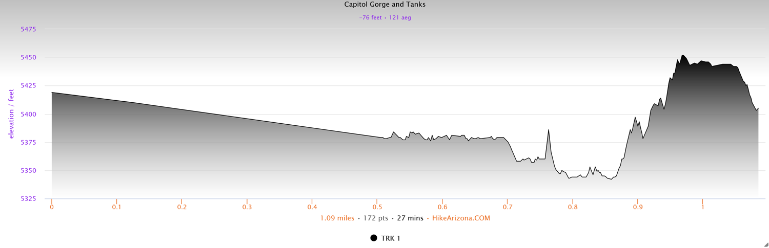
Elevation and route courtesy of Route Scout
Getting There
From the Capitol Reef National Park Visitor Center, head south on the Scenic Drive Road for about 7.8 miles, and at the marked junction, head left onto Capitol Gorge Road. The road will travel along the wash, so if there’s wet weather, avoid heading into it. The road will dead-end at the parking area and trailhead.