
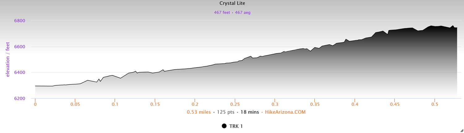
Distance: 0.5 miles (one way)
Type: Out and back
Difficulty: Strenuous
Kid-friendly: Yes
Dog-friendly: Yes
Water: No
The Crystal Lite Trail is a strenuous 0.5 mile (one way) hike in the Gros Ventre Mountains that brings hikers to a gorgeous viewpoint overlooking the town of Jackson, Wyoming. The trail can be accessed from either Cache Creek or Nelson Drive Trailheads, the easier of which is the Nelson Drive Trailhead. The trail gets its name as a shorter alternative to nearby Crystal Butte.
View more images available as prints from the Gros Ventre Mountains
Crystal Lite Trail Description
Immediately upon starting, you’ll reach a junction, where you’ll want to go left up the Woods Canyon Trail. From the trailhead, you’ll start off climbing at a relatively steep pace. You’ll enter into a lush forest followed by a large open hillside. It’s in this hillside you’ll reach another junction, this one connecting to the Crystal Lite Trail. Proceed left as the trail begins making a steeper ascent up the open hillside.
You’ll maintain a steady and steep climb on the exposed hillside for 0.25 miles where you’ll then reach the top of the small hill. At the top is a rewarding view of the town of Jackson resting below Snow King Mountain. While a gorgeous view, you’ll notice that the northern view is obstructed by the forest below. Regardless, this makes for a wonderful hike for those short on time who still prefer a rewarding view with their hikes. Head back out the same way you came in. If you’re itching for more miles, consider connecting the many trails in the area!
Elevation and route courtesy of Route Scout
Getting There
From downtown Jackson, head east on Broadway Ave. for 1.2 miles. Turn right onto Nelson Drive and follow that for 0.2 miles. Turn left onto an unsigned street (Nelson Drive loops around) and stay left until you reach the trailhead.